
Start With Paramus Neighbor Sources
Paramus neighbors are best approached as a block of adjacent parcels. The map answers which polygons touch. The assessment record may return a parcel owner and mailing field. The land index documents recorded transactions. A historical directory may place a subscriber at an address during a particular period. Each source has a different access route and a different public boundary, so the most useful result is a documented parcel trail rather than a claimed roster of nearby households.
| Source | What It Shows About a Block | Access |
|---|---|---|
| Bergen GIS viewer | Parcel polygons, roads, layers, and adjacent legal identifiers | Public map, manual selection, and screenshot |
| Parcel-ID REST layer | Queryable PIN, municipality, block, lot, Q-code, and update field | Public query with date and parameters retained |
| Assessment portal | Public property, owner, assessment, or location fields where returned | Location or block/lot search; redaction may apply |
| Bergen deed index | Transfers and legal descriptions across nearby parcels | Town/lot/block or party search, online from 1970 |
| Community and directory sources | Published meeting or historical subscriber information | Borough, library, organization, or historical-volume verification |
An adjacent owner is not automatically an occupant. Mailing fields can point outside Paramus, and a nearby polygon can be a public facility, business, church, road, vacant land, or another non-household parcel.
Start each Paramus neighbors note with the known address, municipality, date, and source used. Then preserve the parcel identifiers and the reason a polygon was included, such as a shared boundary. That simple record prevents a familiar error: treating the next number on a street as the next legal parcel. It also makes a later check possible when a map layer, assessment card, or deed changes. The block method is about reproducible property relationships, not a promise that every adjacent property contains a private household.
Map Touching Paramus Neighbor Parcels
For Paramus neighbors, define adjacent as parcels whose polygons touch. Start with a known address in the county map, select its parcel, and preserve its PAMS PIN, block, lot, Q-code, and map date. Then inspect each touching polygon. This is more defensible than choosing nearby street numbers, which can skip a corner lot, roadway, easement, irregular parcel, or separate property behind the same apparent frontage.
- Locate the known address in the Bergen County Parcel Viewer and select the target polygon.
- Write down its PAMS PIN, MUN, block, lot, QCODE, and displayed update context.
- Click every polygon that shares a boundary, or use a geometry query where the viewer does not expose an adjacent-parcel control.
- Cross-check each selected legal identifier in the assessment portal. Separate business, institutional, public, roadway, and vacant parcels before comparing ownership records.
- Use a deed only after the parcel key and municipality match the target property.
The parcel-ID layer supports the legal-identifier check for this flow.
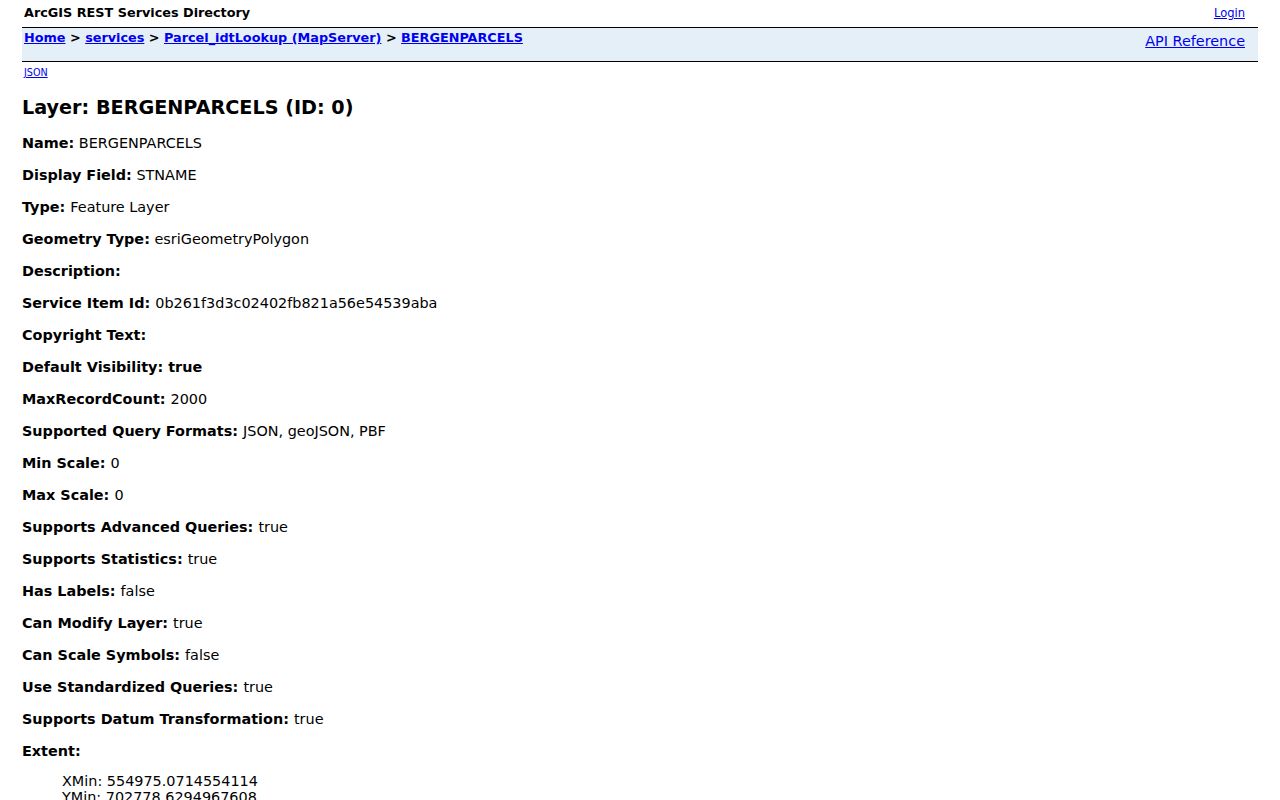
The layer is useful because it records the identifiers behind a map selection, not because it supplies a list of people at each property.
A whole-road investigation belongs in the Paramus Street Directory; this method stays with the immediate set of touching parcels.
The parcel viewer can also show roads, municipal boundaries, zoning, flood or environmental overlays, school or fire districts, and imagery when enabled. Those layers can explain why a parcel looks unusual, but they do not prove the parcel's current legal condition. Record the viewer's actual controls if select, identify, buffer, measure, or query-by-location is available. When a control is absent, use visible polygon edges with a REST geometry query rather than inventing a radius around the address.
Paramus Neighbor Map Fields
The county's parcel REST services make the legal map record more reproducible. The parcel-ID service exposes PAMS_PIN, MUN, BLOCK, LOT, QCODE, and LASTUPDATE. The related parcel layer also exposes fields such as OBJECTID, IMAGEFILE, TOWN, OWNER_CITY_ST, LAND_VALUE, and MAP_PAGE. Record the layer, query date, selected fields, and map or image reference with any notes. GIS geometry establishes a parcel relationship; it does not settle current ownership, mailing location, or occupancy.
The Bergen parcel-layer metadata shows why a field-aware search is safer than copying labels from a map screenshot.
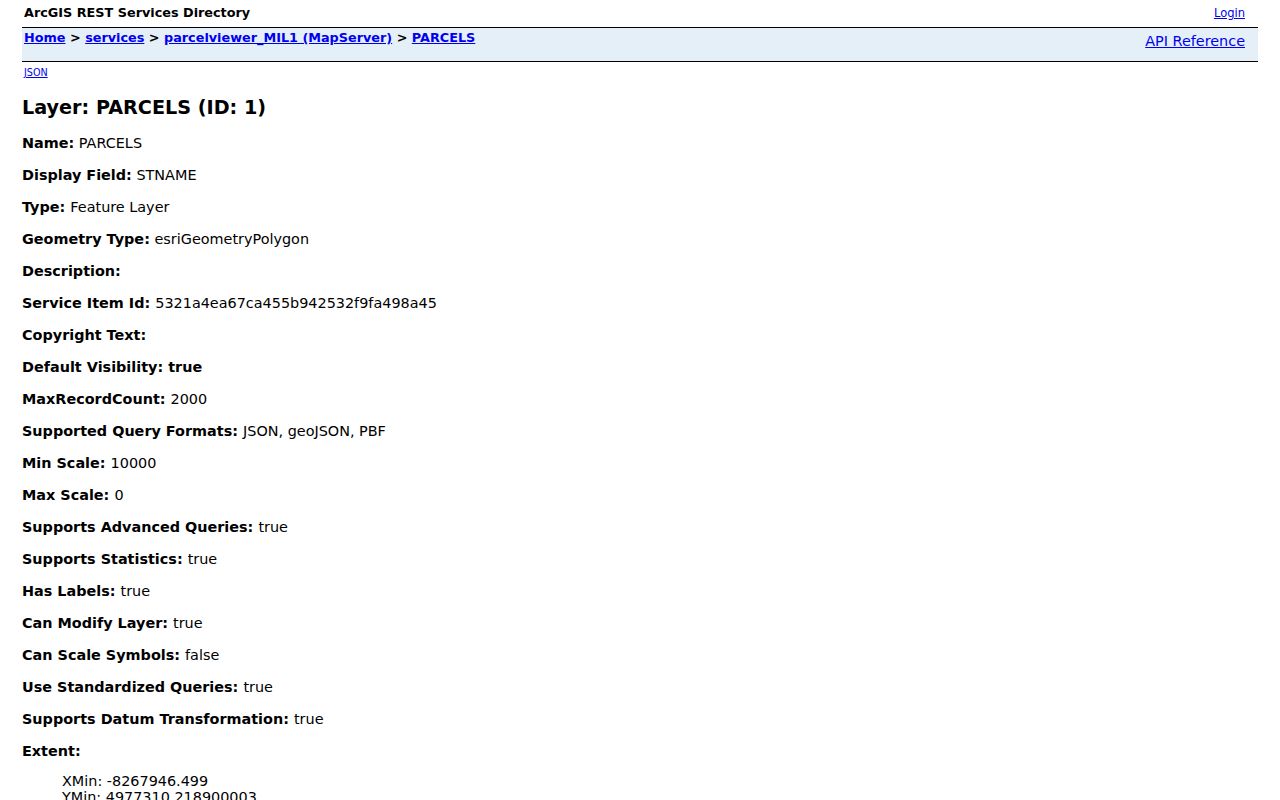
Use LASTUPDATE as part of the source context, then check the assessment card for the current legal or tax record.
A PAMS PIN is especially helpful when a street address is ambiguous or a lot has an unusual shape. It ties the map selection to a municipality and legal parcel fields. Postal ZIP and nearby city labels do not do the same job. 07652 is the usual Paramus street-delivery ZIP, but postal boundaries are not legal parcel boundaries, and 07653 needs an address-level USPS check before it is treated as street delivery. Keep postal, municipal, and legal identifiers in separate columns.
Check Paramus Neighbor Parcels Carefully
After mapping a neighboring parcel, search the Bergen assessment form by Location or by Block, Lot, and Qualifier. The returned record may show the taxable property, assessment fields, owner, and a mailing address if public. A mailing address is not proof that the owner lives on that parcel. It may point to an outside address, a trust, an entity office, a tax agent, or a protected record. Daniel's Law can also suppress owner information from hosted parcel or tax data.
For an ownership event, use Bergen County Land Records with Town/Lot/Block or Party. Party searches use last name then first name without commas. Compare municipality, legal description, instrument number, book/page, and date before linking a deed to the map. The online index begins January 1, 1970; earlier title research moves to clerk books, archives, libraries, or FamilySearch. For address-keyed construction context, the Paramus SDL portal accepts Street Name and Number or Block/Lot, but its historic coverage start is not stated.
The assessment portal offers Current Owners/Assmt List and Deed/SR1A List, with Location, Owner Name, Block, Lot, and Qualifier as criteria. It does not expose ZIP as a visible search field. When an online card is missing context, the Paramus Tax Assessor allows a property-card request at paramus@njaag.com and states a 24 to 48 hour response target. A targeted parcel and year are better request terms than a request framed as a search for people.
Paramus Neighbor Voter Boundaries
The statewide voter registration status lookup is not a block browser. It is designed to check an individual registration status and polling information, and a mismatch may require checking county-file spelling, hyphens, spaces, a changed surname, middle initial, nickname, date of birth, city, or county. Do not infer a neighborhood roster from a status screen.
A lawful full voter-file request is different. N.J.S.A. 19:31-39 governs county electronic lists, excludes signatures, and protects covered home addresses. Bergen County's election officials are the current route for a request, including its terms, data dictionary, format, fee, and protected-address treatment. The statute notes a reproduction cost ceiling of $375 for a county electronic list supplied to a voter, but the county should confirm the current request process before any order.
Bergen County election officials identify the offices that handle election records and requests.
Election results and reporting links document administration, not a public roster of Paramus neighbors.
County election offices should be asked what fields are included before a lawful request is made. A delivered file may include residence address, municipality or county, party affiliation where recorded, status, registration or change date, precinct, polling place, and permitted participation fields, but the public statute does not guarantee every optional field in every export. Do not request or publish Social Security numbers, MVC numbers, signatures, full dates of birth, or protected addresses. A public administrative list still has a public and confidential split.
Paramus Neighbor Community Gaps
No borough-published, complete Paramus neighborhood-association inventory was found in the accessible official material. That gap matters. Do not invent neighborhood boundaries, name an unofficial association as borough-recognized, or turn a private membership list into a neighbors resource. A useful community layer begins with published contact or meeting information, then confirms the group through the borough, library, or organization itself.
| Needed community information | Names of recognized civic groups, meeting notices, or a public contact route |
|---|---|
| Best Paramus starting point | Borough clerk or community pages, followed by Paramus Public Library or Charles E. Reid Branch information |
| Regional research fallback | Bergen County Historical Society, GSBC, and Bolger Heritage Center for historical organizations, maps, newspapers, and directories |
| Private boundary | Public officer or meeting details do not authorize publication of a member roster |
For family and local-history research, Paramus institutions, church records, cemetery material, historical newspapers, and directory volumes can attach a street to a documented period. They are community context, not a current resident list.
The historical source chain is concrete even where a current association roster is not. Paramus Public Library and BCCLS can help locate local-history material and licensed genealogy resources. Bergen County Historical Society documents the telephone-book runs that include a 1954 directory covering portions of Paramus and later regional volumes. The Bolger Heritage Center holds newspaper microfilm, maps, directories, local-history archives, and house-history assistance. Ask each institution for exact coverage, a shelf or microfilm call number, and whether a volume includes the street in question.
Local places can guide a historical search without becoming a people list. Paramus history names Arcola, Dunkerhook Road, Midland Avenue, the former one-room schoolhouse associated with the Charles E. Reid Branch Library, and the Red Mill. Church and cemetery finding aids add Paramus Reformed, True Dutch Reformed, Valleau, and Paramus Plains references. A map, newspaper notice, or directory page tied to one of those places may help date an address, but a connection to a place is not proof of a current resident or membership in any group.
Paramus Neighbor Source Comparisons
Official records and commercial neighbor-search categories answer different questions. The official route supplies a named custodian, legal field definitions, and a source date. A commercial category may be convenient but may combine stale, mismatched, or unverified records. Neither category proves that every person at a parcel is a current resident, and private household information should not be assembled or shared.
| Source category | Useful for | Core limitation |
|---|---|---|
| Official GIS and assessment records | Parcel geometry, legal identifiers, and public tax fields | Owner and parcel fields are not occupancy proof and may be redacted |
| Official deed and permit records | Recorded title or an address-linked project event | A party to a transfer or project is not necessarily a current resident |
| Commercial neighbor-search category | Possible starting leads to verify independently | Accuracy, source date, lawful use, and match quality must be checked |
For Paramus neighbors, a source that explains its records and limitations is more useful than a polished label without a custodian or date. Compare a commercial lead against the public map, legal parcel identifiers, and, where appropriate, the assessment or deed result. Stop when the official trail cannot support the inference. That protects both accuracy and the people whose records are being reviewed.
Privacy Limits for Paramus Neighbors
A neighbor lookup cannot establish all people in a home. Utility customer records, unlisted telephone subscribers, household members, delivery information, motor-vehicle data, and protected-address details are not a public block directory. The federal DPPA and N.J.S.A. 39:2-3.4 restrict MVC information. New Jersey's Daniel's Law can remove residential addresses and unpublished home telephone numbers for covered people and household members. The Address Confidentiality Program can provide a substitute legal address for qualifying participants.
OPRA has record-specific exemptions, and public availability does not authorize republishing a protected home address, full date of birth, signature, or confidential court or vital material. When a map, assessment card, voter record, or clerk result withholds a field, treat that result as a privacy boundary. Correcting a wrong official record begins with the custodian, not with a separate neighbor-search category.
New Jersey stalking law, N.J.S.A. 2C:12-10, makes repeated conduct directed at a person a serious concern when it causes the stated fear or distress. Repeatedly combining or publishing records to monitor someone can create risk even when individual sources are public. If an address exposure, threat, or misuse is involved, preserve the relevant messages, dates, screenshots, and source links and contact the appropriate custodian or local authorities instead of trying to deepen the record trail.
For a wrong parcel, tax, or deed detail, save the record reference and ask the responsible custodian about its correction process. Do not repeat the disputed detail in a neighborhood discussion while the record is being checked.
Lawful use. Use Paramus neighbor records for personal, lawful research and community context. Do not use them to watch, harass, intimidate, expose protected people, or compile a private block roster.
Note: Preserve the source date and legal parcel identifiers when a block finding needs later verification.