
Paramus ZIP Code Coverage and Delivery
Paramus addresses have three coordinates that must stay separate: a postal ZIP, a borough and county jurisdiction, and a legal parcel identity. The stable street-delivery ZIP commonly associated with the borough is 07652. The research also found 07653 in postal databases, but no stable address-level result established that it carries ordinary Paramus street delivery. The official address lookup, not a city-name list, is the source for a specific Paramus address.
| ZIP | Areas Covered | Post Office | Notes |
|---|---|---|---|
| 07652 | Paramus postal city and most ordinary street delivery in the borough | Paramus USPS delivery operations | Postal boundary, not an exact borough boundary; confirm each address |
| 07653 | Paramus-area secondary postal use may appear in directories | Verify through USPS address lookup | Do not claim street-delivery coverage without an address-level result |
No official result from this research established a unique Paramus institution ZIP, a dated ZIP split, or a ZIP-wide population or registration count. The table therefore identifies what the documented sources support and leaves unresolved Paramus postal use unresolved. A Paramus ZIP source should carry that limitation. A ZIP label can reach a nearby or boundary-area location, while Paramus borough records remain under Paramus and Bergen County custody.
Verifying Paramus ZIP Results
Use the USPS address lookup for the full street address. Save the returned delivery ZIP and note whether the result identifies street delivery, a PO Box, or another secondary use. This address-level check matters most for 07653. It also prevents a broad Paramus mailing label from being used as proof that an address lies inside the borough or belongs to a particular parcel.
The lookup is a delivery check, not a resident list. It can verify a Paramus address format before a parcel or records search, but it does not identify every person associated with that address. Keep the Paramus result date because postal assignments can change.
Start with the official USPS address lookup and enter the complete street address rather than relying on a city-wide code list.
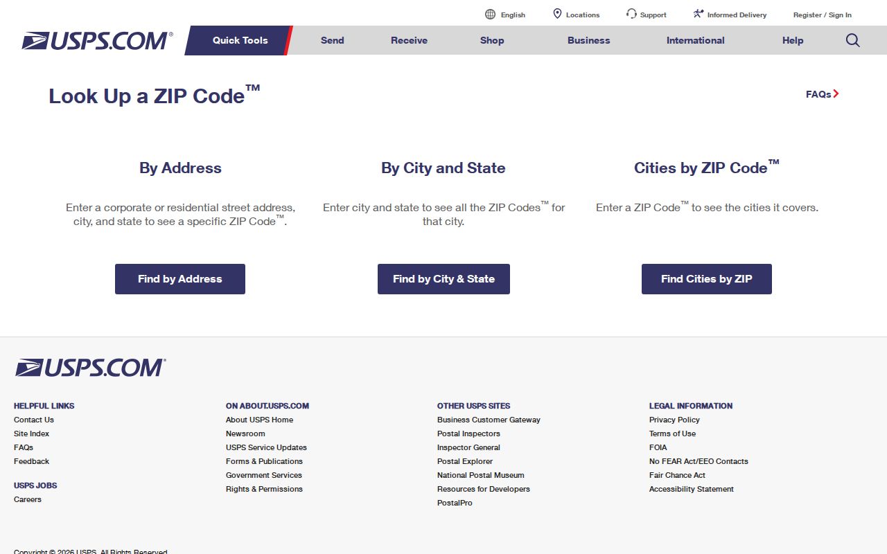
The USPS result is the documented first check for classifying a Paramus address as a delivery address or a secondary postal use. Keep that Paramus result with the address record.
Paramus ZIP Search Workflow
A Paramus postal directory cannot become a one-click public roster. The inspected assessment form has no ZIP control, the GIS parcel service is geometry-based, and the public voter-status tool is oriented to a person, municipality, and county rather than a ZIP-wide search. Build the Paramus research set from verified addresses and parcel records instead of assuming that a ZIP filter exists.
- Confirm the full street address through USPS and record the returned ZIP and delivery status.
- Search the Paramus assessment record by Location, then save the municipality, block, lot, qualifier, and returned parcel context.
- Use the Bergen parcel viewer to test the parcel geometry and preserve the PAMS PIN, MUN, BLOCK, LOT, QCODE, and LASTUPDATE values.
- For voter status, use the official name-and-location confirmation route only; a fuller county request requires a lawful scope and confirmation of protected-address rules.
Once a ZIP result has narrowed the address, the Paramus Street Directory supplies the fuller street-by-street record path. A parcel owner or mailing address is not a complete household list, and protected fields may be redacted under Daniel’s Law. This is a Paramus address trail, not a ZIP roster.
Note: Keep the USPS result, parcel identifiers, and source date together because each describes a different part of the same address.
Paramus ZIP Voter Limits
The New Jersey voter-status lookup is not a ZIP browser. The research run could not capture its dynamic form labels because automated access was restricted, but the official instructions say a Paramus match depends on the county-file name and can require checks of spelling, hyphens, changed surname, middle initial, nickname, date of birth, city, and county. The public result is limited to the registration status and polling information the tool returns.
A fuller electronic list is a separate Bergen County election request under N.J.S.A. 19:31-39, not an assumption from a postal code. The statute describes a maximum reproduction cost of $375 for a county electronic list supplied to a voter, while signatures and protected home addresses are excluded. Confirm the current Paramus scope, request form, delivery schema, and restrictions with the county before making a lawful request. Do not treat a Paramus non-match as proof that a person does not live at a Paramus address.
Paramus ZIP Assessment Controls
The Bergen assessment search supports Paramus address and legal-parcel work, but its exposed fields do not include ZIP. Select BERGEN and PARAMUS, then use Location or the legal controls that the search form actually provides. Choose the database and output format deliberately, because results can be shown in single-line, multi-line, or Excel form with different items-per-page settings.
| Assessment control | Form type | ZIP research use |
|---|---|---|
| Database | Choice | Choose Current Owners/Assmt List or Deed/SR1A List |
| County | Select | Choose BERGEN before narrowing to Paramus |
| District | Select | Choose PARAMUS for borough-specific work |
| Search format | Choice | Use Simple Search or Advanced Search as the form offers |
| Output format | Choice | Choose Single Line, Multi Line, or Excel for review |
| Items per page | Select | Set 10, 20, 50, 100, 500, or 1000 returned items |
| Location | Text | Use the verified street or address, not a ZIP-only query |
| Owner Name | Text | Use only as a current owner-name lead |
| Block | Text | Cross-check the legal parcel when an address is unclear |
| Lot | Text | Cross-check the legal parcel when an address is unclear |
| Qualifier | Text | Use for a condo, subparcel, or qualifier where present |
| Submit Search / Reset | Buttons | Run the query or clear the criteria for a new search |
Recent SR1A finalization, nonusable sales, assessment-versus-market-value limits, and Daniel’s Law redactions affect interpretation. The live current-owner portal does not state a beginning year. State GIS material describes a historic tax database reaching back to 1988, but that is not a promise of uninterrupted Paramus parcel display. Request a missing Paramus card or year from the assessor through the documented records route.
Use the Bergen County Board of Taxation entry point to reach the property-record-search path.
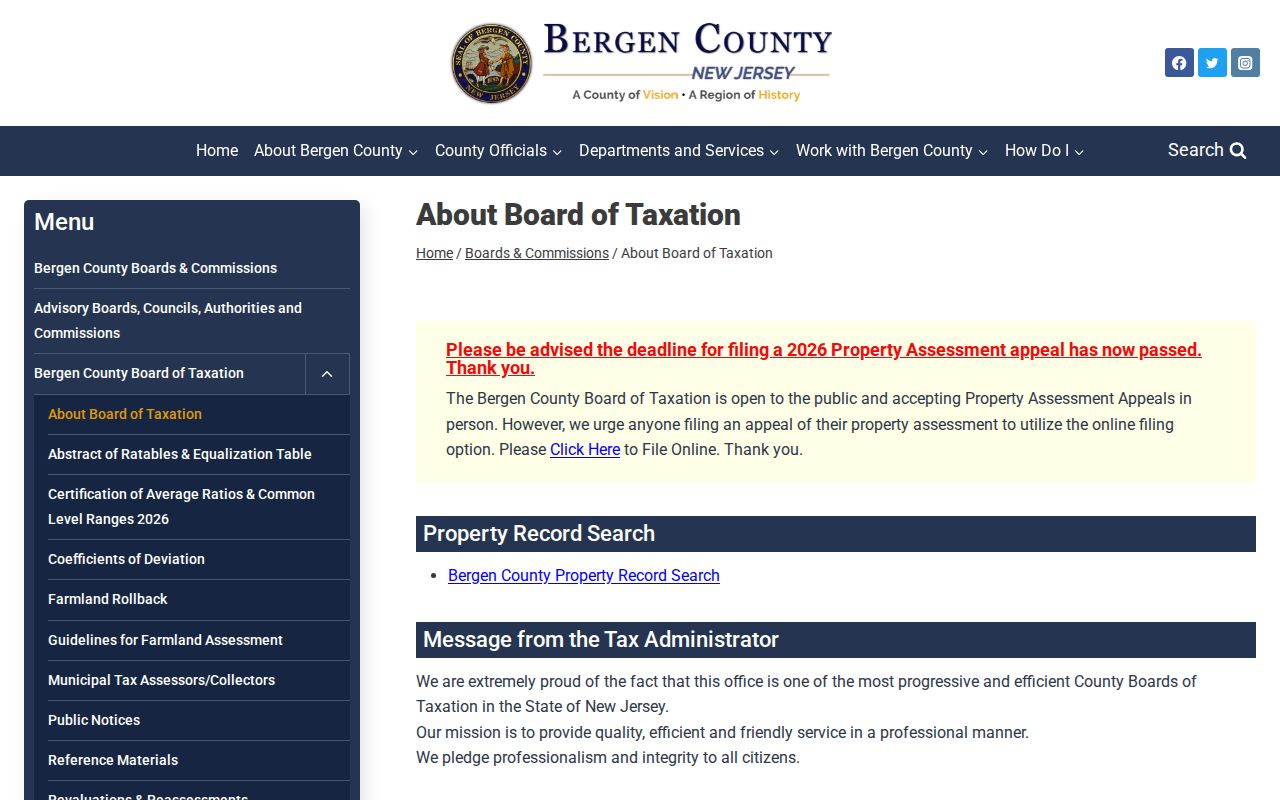
The county entry point leads to Paramus address and parcel controls, which is why a verified ZIP must be translated into a street or legal identifier.
Paramus ZIP Parcel Keys
The Bergen County parcel viewer supplies the Paramus legal-map context that a ZIP cannot. Its parcel-ID layer exposes PAMS_PIN, MUN, BLOCK, LOT, QCODE, and LASTUPDATE. PAMS PIN is the parcel identifier that aligns with the state PAMS standard; MUN identifies the municipality; block, lot, and qualifier distinguish the legal parcel. LASTUPDATE supplies update context rather than a promise that every field is current.
Search a verified Paramus street address first, then compare the map polygon with the Paramus assessment record. The parcel’s situs address identifies the taxable land or building. Its owner mailing address is where assessment notices go and can be outside Paramus. Owner names may be suppressed under Daniel’s Law, and a redacted field is a privacy protection, not a data error.
Paramus ZIP Boundaries and Borough Limits
Postal, municipal, and parcel boundaries serve different purposes. Use the ZIP for delivery, Paramus and Bergen County for records jurisdiction, and the legal description for an older Paramus deed or assessment trail. Reverse directories and telephone books can follow subscriber or street labels that cross postal or municipal wording. School attendance, fire, and emergency districts can use still different lines, so they need their own authoritative source.
- ZIP and ZIP+4
- The five-digit ZIP directs the broad delivery area; ZIP+4 adds a smaller delivery segment and does not set a borough line.
- PO Box ZIP
- A code used for post-office boxes or secondary postal service, which must not be assumed to cover street delivery.
- Unique ZIP
- A code assigned to one organization or facility. No such Paramus ZIP was verified in the reviewed research.
- Carrier route
- A postal delivery grouping used to organize mail, not a legal parcel or municipal boundary.
Paramus ZIP Geography and Routes
Paramus changed from farms and mills to a borough shaped by post-1931 automobile access and later development around Routes 4, 17, and the Garden State Parkway. That Paramus geography matters when a ZIP search returns a commercial or institutional address. A tax, permit, business, or directory listing at such a location may describe an organization or event rather than a household.
Arcola, Dunkerhook Road, Midland Avenue, the Red Mill, and the Paramus Road museum are useful Paramus place anchors for maps and newspapers. They help interpret an old Paramus description that does not match a modern postal search. No borough-wide quadrant plan, ZIP realignment date, or street-renumbering bridge was verified in the reviewed sources, so old maps, plats, directories, and borough records remain the proper fallback.
Paramus ZIP Secondary-Use Limits
The USPS PO Box information is a useful reminder that postal products have distinct purposes. For 07653, treat any secondary or PO Box use as a question to verify through the address-level USPS result. The accessible research capture did not provide a stable answer that supports calling 07653 a Paramus street-delivery ZIP. Paramus secondary use remains unverified.
Use the code only as far as the source supports it. No dated split or realignment was found, and no official Paramus ZIP-wide population or voter statistic was located. A careful ZIP code directory records those limits, then moves to the Paramus address, borough, and parcel sources that can actually be checked.
Review the official USPS PO Box guidance when a postal result indicates a box or secondary service instead of ordinary delivery.
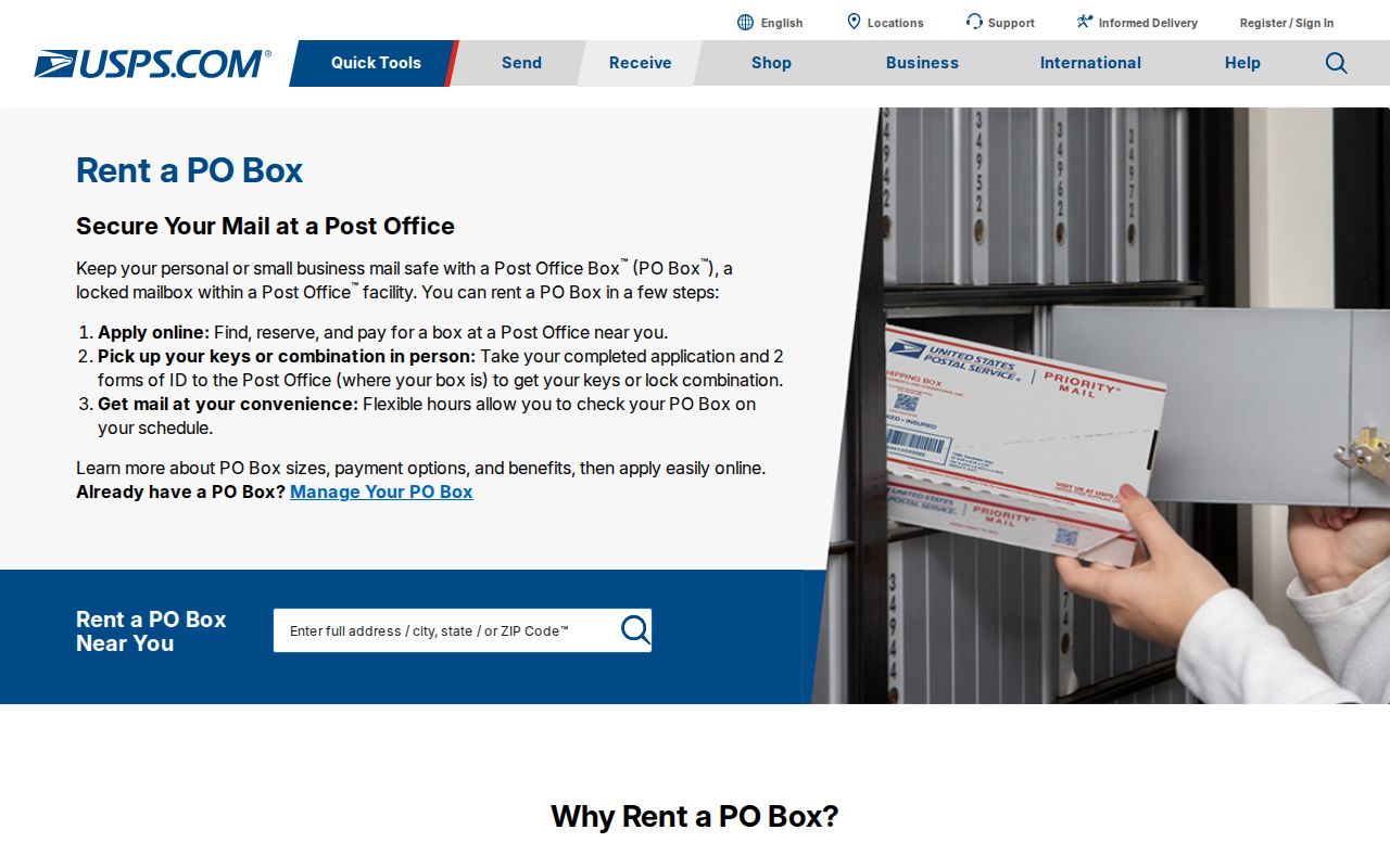
USPS postal guidance reinforces the distinction between a verified delivery address and a code whose street coverage has not been established.
Note: Record unresolved ZIP use as unverified rather than converting a postal database label into a street-coverage claim.